 |
| From http://www.fs.usda.gov/detail/conf/learning/safety-ethics/?cid=FSM9_029237 |
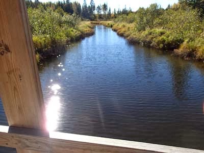
For a few weeks every year, the North Shore fills with hunters. While I'm glad those hunters are out there controlling the deer herd, I also know to change my outdoor plans dramatically. You can still hike and explore the North Shore, you just have to plan ahead.
Firearm deer season starts in about ten days, on Saturday, November 9, and runs to Sunday November 24. That stretch of days includes three weekends in a row. If you've been meaning to get out in the woods for one more fall hike, one last mushroom expedition, one special picnic, now is the time to do it.
Grouse season is already underway, so many of the local trails have hunters on them. But those hunters are using shotguns and dogs; you'll see them coming and there's little danger of a stray bullet.
Deer season in the state parks
When deer season starts up, you can still find public places to get out and explore nature. Most of the North Shore state parks ban deer hunting in their most popular areas. SOme of them ban non-hunters from their backcountry. It's safe to say there won't be deer stands propped up on the Jay Cooke Swinging Bridge.
From Jay Cooke to Grand Portage, here's a brief review of state park status:
- Jay Cooke: No hunting during regular deer season. Special muzzleloader season December 7-11.
- Gooseberry Falls: All park land between Highway 61 and the lakeshore is safe from hunting.
- Split Rock Lighthouse: All park land between Highway 61 and the lakeshore is open for visitors and closed to hunting.
- Tettegouche: All park land between Highway 61 and the lakeshore is open for visitors and closed to hunting.
- Cascade River: Most of the lakeshore, campground and waterfalls ares is closed to hunting and open to visitors. Consult a map at the park to make sure.
- Judge CR Magney: Stay away if you're not hunting. Hunting is banned in the campground area, but everything else is open for hunting, including the hike to Devil's Kettle.
- Grand Portage: Safe zone; there is no deer hunting in this state park.
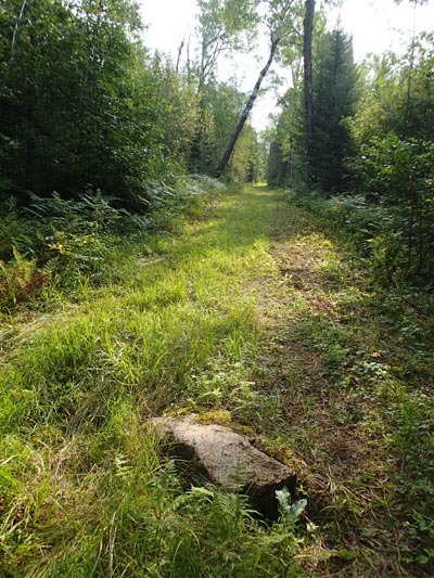
Much of the SHT is closed during deer season to respect the local landowners the trail passes. The trail will be closed from the northern edge of Duluth all the way through Lake County to the Sugarloaf Road for the entire season. Stretches of trail in Cook County will be closed as well. Check the SHTA Conditions webpage for more details.
Anywhere in deer season
If you do go out on the trails, wear blaze orange. If you don't have any, you can stop at a local convenience store or sporting goods store and buy a stylish orange wool cap or a cheap orange plastic vest.
What are your tips for a safe and enjoyable North Shore deer season?